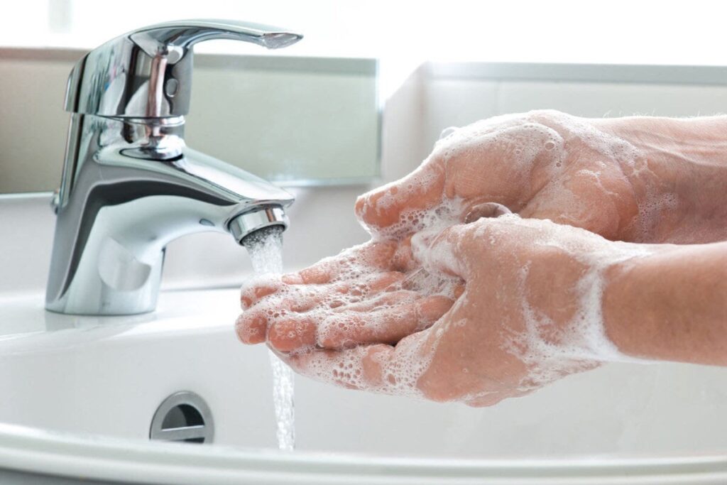
Subwatershed Assessments
The purpose of Subwatershed Assessments by using stormwater retrofitting is to improve water quality, increase groundwater recharge and reduce stormwater runoff volumes in the 11 County Metro by identifying retrofit opportunities in subwatersheds most contributing to the degradation of the high priority water bodies and developing retrofit designs.
Subwatershed Assessment Steps
- Identify and prioritize sub watersheds that contribute the greatest to water quality degradation of high priority water resources.
- Map BMP retrofit potential within neighborhoods of the highest priority sub watersheds utilizing the “Urban Stormwater Retrofit Practices” manual (August 2007).
- Design retrofits, primarily involving decentralized rain gardens, neighborhood-scale infiltration basins, vegetative swales, grit separators, and multi-chamber treatment trains.
- Manage installation
- Calculate pollutant removal consistent with state and federal stormwater mandates and the modeling done for the non-degradation report.
What is a watershed? A watershed is defined as the area of land where all of the water that is under it or drains off of it goes into the same place, according to the EPA website. I think of a watershed as a large bathtub. When a drop of water hits anywhere in that bathtub it eventually finds its way to the drain. The bathtub defines the watershed boundary. On land, that boundary is determined topographically by ridges, or high elevation points. Water flows downhill, so mountains and ridge tops define watershed boundaries. A watershed can be as large as the Mississippi River Watershed (that is one big bathtub) to as small as the little creek running Through your back yard being a watershed.

Last Updated (Thursday, 27 January 2011 16:55)
Best Management Practices